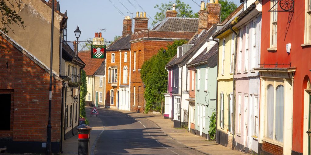
Local dowser, Mike Testro, is something of an authority on ley lines and he tells us that there is an important ley line running through Bungay. We asked him more:
What is a ley line?
Nobody can explain precisely what a Ley Line is. The concept was first postulated in England by Mr Harold Watkins who had a sort of spiritual vision back in 1921 that all the historical sites in ancient Britain that can be seen on a map today were connected by powerful lines.
There is still some debate in the dowsing societies as to whether these ancient sites were erected on the powerlines or whether the existing powerlines drifted to connect to the sites.
I have no doubt that Ley Lines exist and can be found and traced on the Earth and that they do coincide with ancient stone age structures. This is done through Dowsing.
What is dowsing?
The art of dowsing is usually associated with the use of a forked hazel twig in the process of finding underground water sources, but the application is much more extensive than that.
I started to be interested in dowsing roundabout 1995 when a friend showed me how he goes about finding underground water with a hazel twig that he snipped from the tree the bottom of our garden. I found that I could do it also but would have better results with a set of copper L rods. The trick is to keep your mind in absolute neutral, try not to think about anything at all, I usually achieve this by imagining a pale azure blue mist.
When the rods held in front of you cross then something has happened under your feet. The process can be refined by asking questions as to what exactly is under your feet and the rods will cross again when you ask the correct question. Anybody can do it.
I have expanded this process into the search of Ley Lines.
Ley Lines in Norfolk and Suffolk.
The principal and most extensive ley lines that cross this area are those named the Mary and the Michael lines. These are the longest lines that can be projected from West to East in England. They start at Land’s End and into the North Sea through Hopton. Paul Broadbent and Hamish Miller conducted a survey of the whole length of these lines they published their book “The Sun and the Serpent” in 1990.
Incidentally there is another that takes the longest route from Chichester in the south to Inverhope in Scotland which is the longest path south to north that can be drawn across the map of Great Britain.
In this area I have traced these lines from Royston through to Hopton and they cross at significant places including Royston with ancient caves, Eye at the ancient castle mound, Hopton where they go through the ancient church and join together before disappearing through the caravan site into the North sea. In between they change positions between North and South and they each have their own individual character. For instance, the Michael line seems to have a quite belligerent character whereas the Mary line is more benign.
There is a theory which seems plausible that, when Christianity became more dominant over the ancient paganist religion, churches were built over the old places of worship. Such churches were often designated to St Michael who cast Satan out of heaven or St Mary mother of our Lord.
In Bungay the Mary line passes directly through St Mary’s Church whereas in Beccles the Michael line cuts through St Michael’s belltower.
The image above is the path of the Mary line crossing through Bungay.
As you can see the Mary line comes in across the Waveney through the Castle Meadow across to the druid stone and exits through number 23 Trinity St. It goes on to a house in Ditchingham which was once a church before reaching the North Sea just North of Lowestoft.
At a Bungay Festival a few years ago I offered to demonstrate dowsing for significant Ley lines across Bungay, I hope for about a dozen people to show an interest and come along for the walk. I asked them to start in the Castle Meadow and when I arrived there were 65 people waiting for me. I had to send my granddaughter back to warn my wife that there were more people than expected coming back for refreshments.*
I started with a small demonstration of how dowsing works and what we could achieve. I identified that it was indeed the Mary line lying under the Castle Meadow and by criss-crossing over the route starting from the river Waveney I was able to demonstrate how the line crossed Bungay.
From Castle Meadow I showed how it goes directly to what is known as the druid stone and then into the church under the font then across to the terrace outside our house inTrinity St.
My short demonstration was well received and I have since been asked on occasions to find the whereabouts of lost water pipes and gas mains.
Since I no longer walk very well I have abandoned my dowsing on land but can still find lost objects by the use of a map.
Mike Testro
January 2022
Bungay
* Note from the Editor: I was one of those present and had a go at dowsing. The rods crossed very strongly in the Priory ruins – but alas I had no idea what question to ask!


