A Brief Introduction
Bungay, with its attractive location in the Waveney Valley, and wealth of historic sites, is one of the most fascinating towns in Suffolk.
Situated on sloping land, partly encircled by the River Waveney, it commands extensive views over lush water meadows, often flooded in winter, but fringed with silver green willows, and grazed by cattle in the summer months, creating a vista of serene beauty.
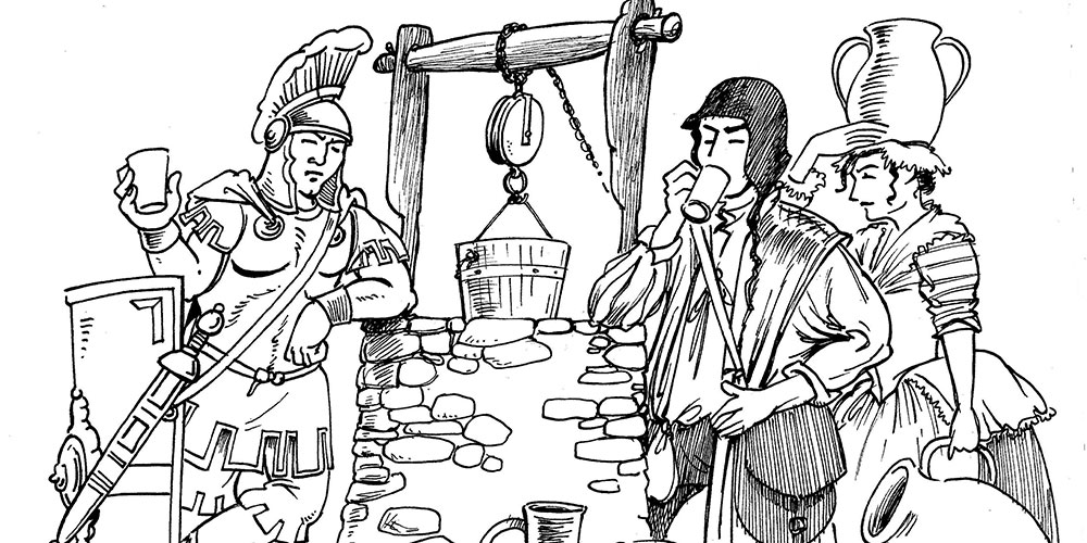
The town centre displays a Roman well, a Saxon church, the remains of a Norman castle and a Benedictine priory, and a fine lead-domed Butter Cross. The street scene is dominated by the majestic tower of St. Mary’s which, rising above the landscape for miles around, serves as a symbol of Bungay’s rich heritage.
The origin of the name of Bungay is thought to derive from the Anglo-Saxon title ‘Bunincga-haye’, signifying the enclosure of the tribe of Bonna, a Saxon chieftain. On high land protected by the River Waveney and marshes, the site proved a good defensive position, and attracted settlers from early times.
During the Roman Occupation it was connected by the road they built, named Stone Street, with their camp at Caistor St. Edmunds. Wainford, just across the river from Bungay, was an important military station; and various Roman artifacts have been found in the region. When the Romans returned to their own homeland in the early 5th century, Britain was invaded by Saxon tribes, and the extensive settlement at Bungay is indicated by the large burial site in the Joyce Road area dating from the 6th – 7th century.
Major land-holders by the 11th century were Godric, and the Saxon Archbishop, Stigand, but, following the Norman Conquest of 1066, the Bungay manors were granted to William de Noyers. He is thought to have erected the first mound castle on the present castle site, in order to protect himself and his followers from hostile Saxons in the vicinity.


